Properties near 594 S 11TH ST
loading...


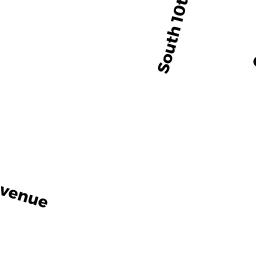


Map compares the tax value for properties of the same class. Orange map markers are considered average for the current view. Red markers have higher taxes and green markers have lower taxes. Blue markers are properties of a different class.
594 S 11TH ST is a public property property. There are 2452 properties of the same class in and X in the current map view.
| Property Class | public property (15C) |
|---|---|
| Land Value | $24,900 |
| Improvement Value | $0 |
| Net Assessed Value | $24,900 |
| Taxes | $0.00 |
| Owner | CITY OF NEWARK 920 BROAD ST NEWARK, NJ 071022660 |
Municipality-wide
| Property Class | 2452 of class "public property" in |
|---|---|
| Land Value |
|
| Improvement Value |
|
| Net Assessed Value |
|
| Taxes |
|